LARGE PROPERTY WATER
ASSESSMENT PROGRAM
Make smart, informed decisions about your property’s water use through a comprehensive, data driven assessment.
ABOUT THE PROGRAM
We help HOA leaders and property managers identify improvement opportunities, prioritize projects, and showcase demonstration sites that inspire the community.
Our assessments include on-site irrigation and landscape analysis, GIS mapping of turf and irrigation zones, ROI analysis of water and cost savings, education sessions with boards and property managers, and a final report with actionable recommendations.
WHAT YOU’LL GAIN
Clear insights into your current water use and where the biggest savings opportunities exist.
Ranked recommendations so you can implement improvements efficiently and strategically.
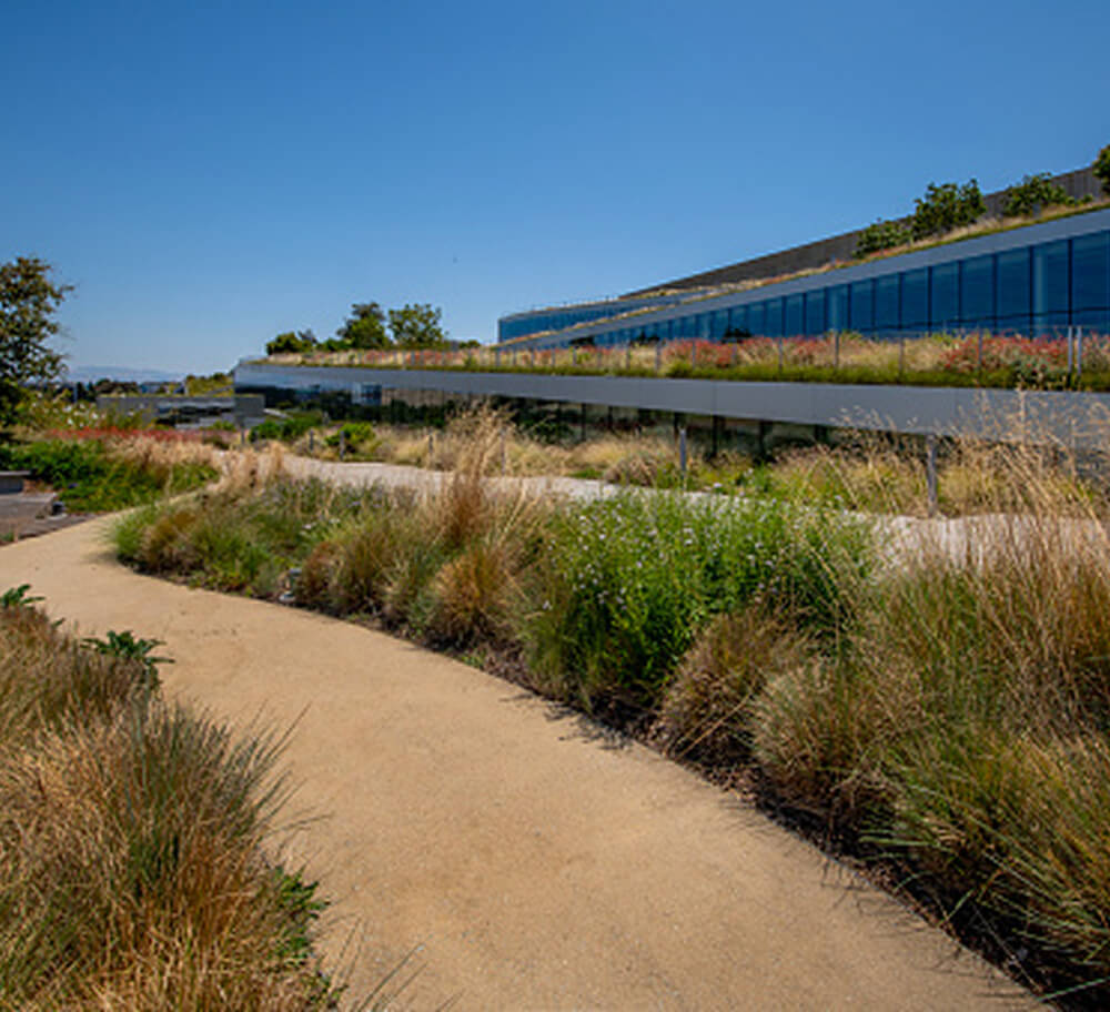
Access to demonstration sites that showcase successful, waterwise landscapes to inspire your community.
Detailed analysis of projected water savings and financial return to support confident decision-making.
Education and practical guidance tailored for HOA boards and property managers.
Program Details & Funding
Thanks to our partnering municipalities and communities, the assessment program is free to a limited number of properties. A select number of properties may also be eligible for a $20,000 CWCB-funded grant to implement recommendations and create inspiring case studies that demonstrate real savings in action.
Frequently Asked Questions
Large properties such as HOAs, commercial sites, and multi-family communities with irrigated landscapes may be eligible; please check our eligibility tool to see if your water provider or municipality partners with us.
The assessment includes an on-site irrigation review, zone-level analysis, water use evaluation, educational sessions, and a detailed return on investment report based on recommended fixes and system upgrades.
The assessment takes a couple of days to complete, followed by a few days for reporting, so the full process is typically 1–2 weeks depending on scheduling availability and property size.
If selected, funding must be used toward the recommended upgrades outlined in the ROI report; you can choose which of those recommendations to implement, and your team will work with us to help outline and submit bids to complete the improvements and track results.
GIS GALLERY
Our assessments include custom GIS mapping of turf and irrigation zones.
Take Action
Ready to move forward? Apply now for the program that fits your property and get hands-on support from Resource Central. Not ready to apply, or is your provider not currently active?
Join our interest list to receive updates and program announcements.